
Long-range BVLOS surveying
with cutting-edge LiDAR technology
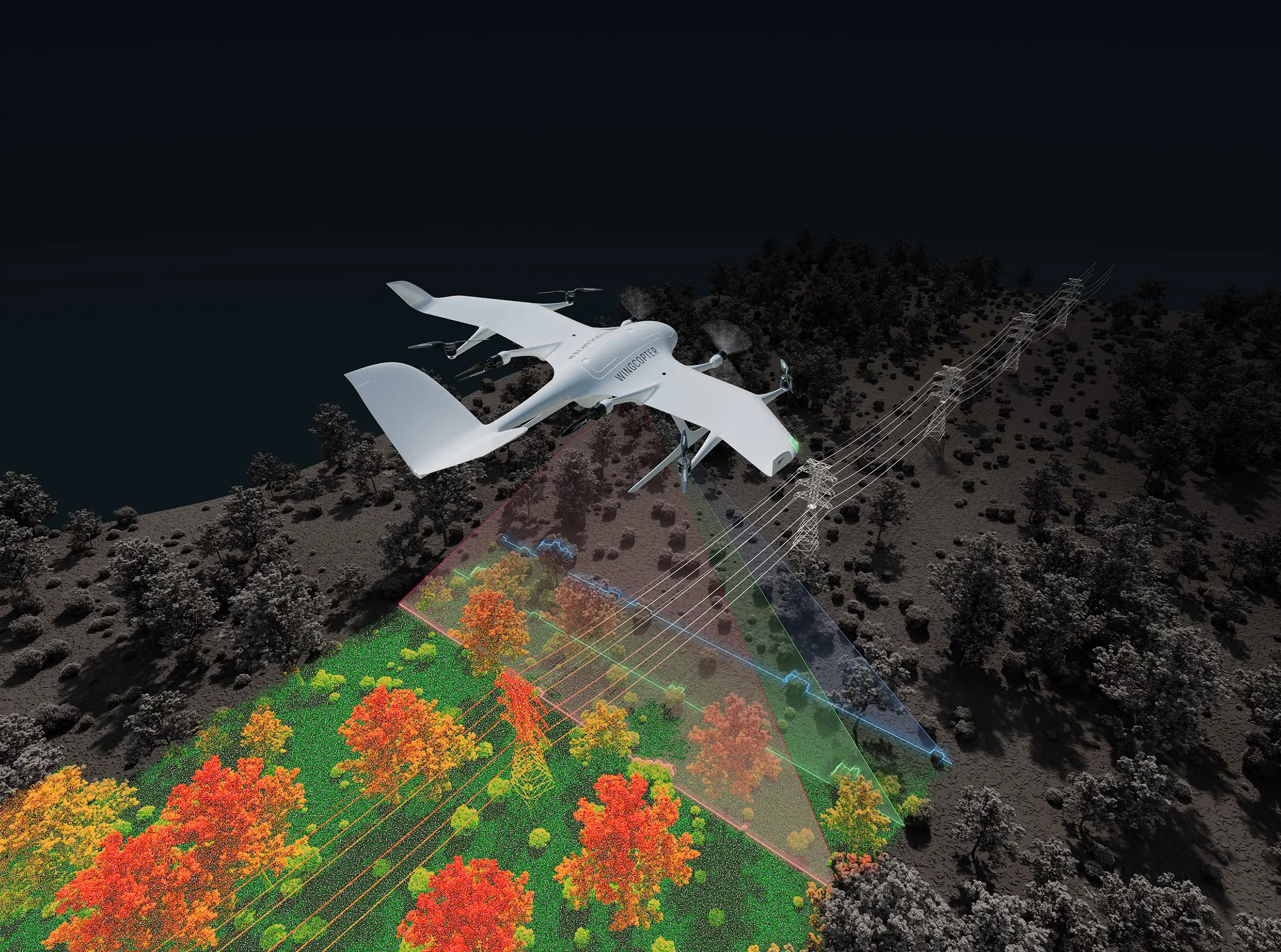
High-precision scanning at low operational costs
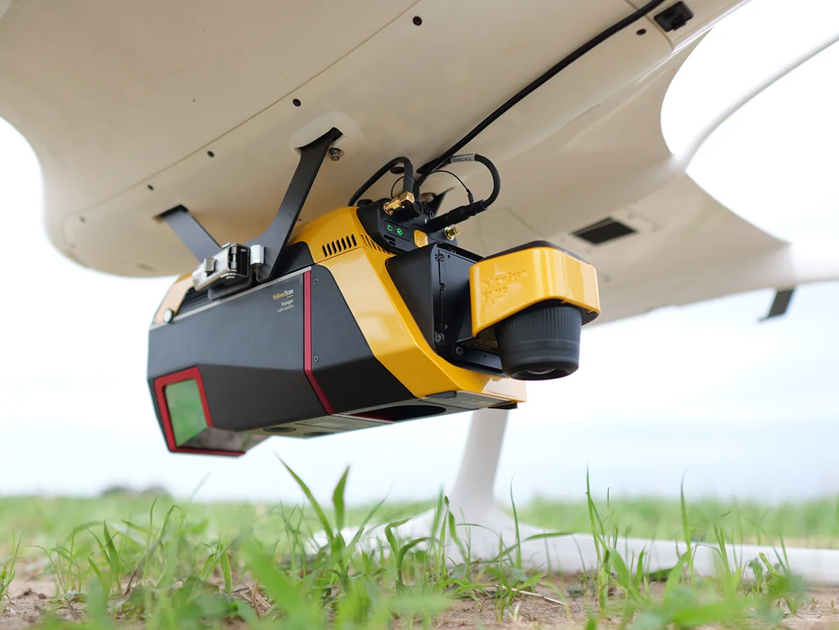
Data Quality
Best data quality with advanced LiDAR & RGB supporting payloads up to 4.7 kg payload
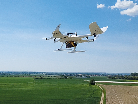
Reliability
Rely on an aviation-grade UAS with a proven lifetime of 1,500+ flight hours

Accuracy
Up to 570 pts/m² with a sensor accuracy of 10 mm and a precision of 5 mm
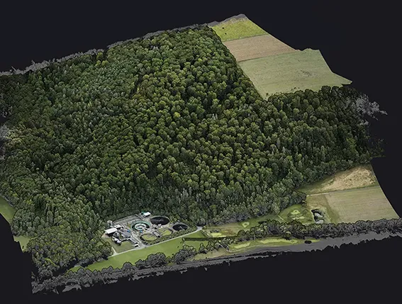
Service Range
Fly 37 miles per surveying mission and scan up to 2,560 acres in 42 minutes
Request sample data
Let us help you to get better insights!
The Wingcopter 198: optimal for wide-area surveys and smarter, more efficient management of linear infrastructure.
Power line
Pipeline

Railway
Road

Terrain
Quick set-up, low mobilization costs.
Easy to deploy.
How can we help?
Let us help you find the best solution for you!
Connect with us and discover what our drone solutions can do for you
Stay up-to-date
Sign up for our newsletter to receive the latest news about our product development, interesting projects, new strategic partners, company milestones etc.

© Wingcopter 2026 | Privacy Policy | Legal Notice | Terms & Conditions